I met Tim Bucktoo and Lionel Barrymore for coffee to talk over our upcoming trip. The ride leader sent us the “Road Book” with GPS files for each day’s ride. I hadn’t looked at them. I knew day 1 was an easy warmup day in the foothills before day 2 with three major passes.
The “easy” day has 7000 feet of climbing over 84 miles. Day 2 of 86 miles includes 13,300+ feet of climbing. (Col de Marie-Blanque and Col D’Aubisque in the morning, with the Col de Soulor and Col du Tourmalet after lunch. I guess that’s four passes, but who’s counting?) Okay, I’ve done that. The Death Ride was 15,000 feet and 128 miles. The Horribly Hilly Hundreds was 11,000 feet over about the same distance. Does decreasing the distance by 40 miles make it easier or harder? But after those days, I rested and did nothing.
I didn’t climb two more HC passes the next day. Day three will be the Col d’Aspin and Col de Peyresourde. Four more passes greet us the next day, then three more the day after that before riding down to the Mediterranean on the last day.
What have I gotten myself into?
Once the tour ends, we plan a few more days of riding just for fun and to explore the area around Luscan, where we’ll be staying.
into the 21st century. I’m not what you’d call an “early adopter”. The bike I’m riding today has a 7 speed cassette, downtube shifters, and a steel frame. It’s 35 years old.
On the other hand, thanks to my friend Tim Bucktoo, there is a GPS unit mounted on the handlebar. I even loaded a GPS map onto it, for tomorrow’s Bombay Bicycle Club ride to Hyde’s Mill. Since the forecast is for thunderstorms, I thought I’d ride it today. I had the turn-by-turn instructions on the screen.
Hyde’s Mill
On the way, I stopped to eat and ended up on a “choose your own adventure” ride. So, while GPS knows where I am, no one knows where I’m going. That’s okay because I’m only sharing the road with a few turkey vultures. The rest of the birds seemed to have been grounded (er, treed) by the wind.
On my last ride, I came across a pretty-much intact vertebral column and ribcage lying in the woods below me. It was about human-sized, but more likely a deer.
I looked down and thought, “I should stop and take a picture of that” – my usual reaction to seeing something cool as I ride. Then I thought about climbing down the embankment to get there and pondered that for a minute.
My next thought was, “I should have stopped and taken a picture of that. Oh well, it’s too far back now.” So you don’t get to see the picture unless I ride down to New Glarus again soon.
I had downloaded the GPS route to my phone (first time I’ve done that) but hadn’t yet figured out how to synch that with the handlebar unit, so I was using a paper cue sheet and a voice from the phone in my back pocket, which I couldn’t really hear. I ended up taking a scenic detour.
Don’t worry, the GPS unit isn’t going to turn me into The Datameister.* When I saw that it told me the grade I was climbing was >16%, I realized that, like the heart rate monitor I used briefly 15 years ago, this could be amusing for a while. But since the satellites aren’t calibrated in BFUs (Big Fun Units), all these data are of limited utility. Then again, when I finished the ride (at the same place I started) it said I had descended about 5% (75 feet) more than I had climbed. Seems to me that if you start and end in the same place, those numbers should be equal.
The one problem with “choose your own adventure” is the possibility of doing something dumb adventurous. I was thinking I had turned onto highway JG and would climb past Little Norway and back to Mount Horeb from the west. But I was on J and on the other side of Mount Horeb, where the only reasonable route back to town was on a state highway for a few miles. Not a big deal, but that was into a 25 mph head/crosswind, not the best time to be on a highway. The weight I gained over the winter and the heavier bike were comforting, in that I was pretty sure I wouldn’t blow away.
In the midst of writing this a peregrine falcon landed on the telephone pole right outside my porch. By the time I retrieved the camera it was gone. Then the thunderstorms hit and I had to turn on the lights.
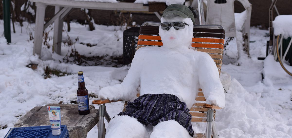
Last week this guy was in a suit. This morning he was in prison orange. This afternoon the cell appeared. While I rode to New Glarus again Wednesday, the route took me past djt instead of the skeleton in the woods. Oh, well.
*The Datameister was someone on my coast-to-coast tour who was obsessed with data. Every night he would tell us how many feet we had climbed, the maximum grade, his average and top speeds, how many watts he had expended…If I was lucky, I wasn’t riding next to him and getting a moment-by-moment readout of his data.
George Christensen, of the Chicago area, was killed by a truck driver in South Carolina on Earth Day.
George had ridden his bike all over the world. One of his passions was visiting Carnegie libraries. Another was the Tour de France, which he had traveled to see 17 times. He rode the course. He posed with the famous Didi and Greg Lemond.
George and Didi on tour
He blogged of his travels for decades, with entries from North and South America, Europe, Asia, and Africa. He worked as a bicycle courier. I’ve kept this brief to encourage you to check out the links for more. He was only a couple of years older than I, so I’d have to say he was struck down in the prime of life.
After cleaning the highway last week I left the bike in the van for Wednesday night’s ride, which started at a park about 20 miles away.The park is about to close for repairs, so I was hoping to get out there one last time. It was cold and rainy. I stayed home.
I left the bike in the van for Sunday’s ride. That one was only ten miles away, but adding 20 miles to a 50 mile ride, and starting with the temperature just above freezing, made me lazy.
An unexpected visitor Sunday morning meant my pre-ride prep got short shrift and my pre-ride check was skipped. I arrived at the start with no water bottles or food. I don’t have enough stored calories for 50 miles, but I figured we’d see three towns along the way so I could get food. No water or bottles to hold it – that was a bigger problem. So, with tears in my eyes, I headed off into the sunset. That is to say, I drove back home.
I filled a couple of bottles, grabbed some snacks, and headed off in the other direction The van stayed home. 17 miles later, the Seven Acre Dairy Cafe awaited, with a promise of coffee and pastries.
First was a trip through the arboretum to check out the redbuds, flowering crabapples, and lilacs. All were coming along nicely despite the chill after last weekend’s heat. From 80 degrees a week ago to morning frost this week.
It being Sunday near noon, the place was hopping – and a jazz quartet was hanging out between sets. I settled in to wait for the next set and figured it might be a little warmer for the trip home as a result of the longer pause.
Some kids in the balcony (off stage to the right of the picture above) were waving and playing peek-a-boo with the band. Johnny, the bassist, joined in.
It didn’t really warm up until I’d been home for a couple of hours. Yeah, I took out the liner gloves, and I’d already removed the plastic bag from between my wool jersey and my jacket, but I still had a hat, full-fingered gloves, wool jersey and jacket, and winter tights on for the ride home.
On the other hand, I was serenaded by cardinals, redwing blackbirds, sandhill cranes, and spring peepers. The bald eagle didn’t have much to say but added some visual enjoyment. He wasn’t really bald either, but the comb-over was pretty obvious.